Hanthana Mountain Range Trail
A scenic moderate hike near Kandy offering panoramic views over the city and surrounding countryside.
Distance
Difficulty
Best Time to Visit
Entrance Fee
Overview
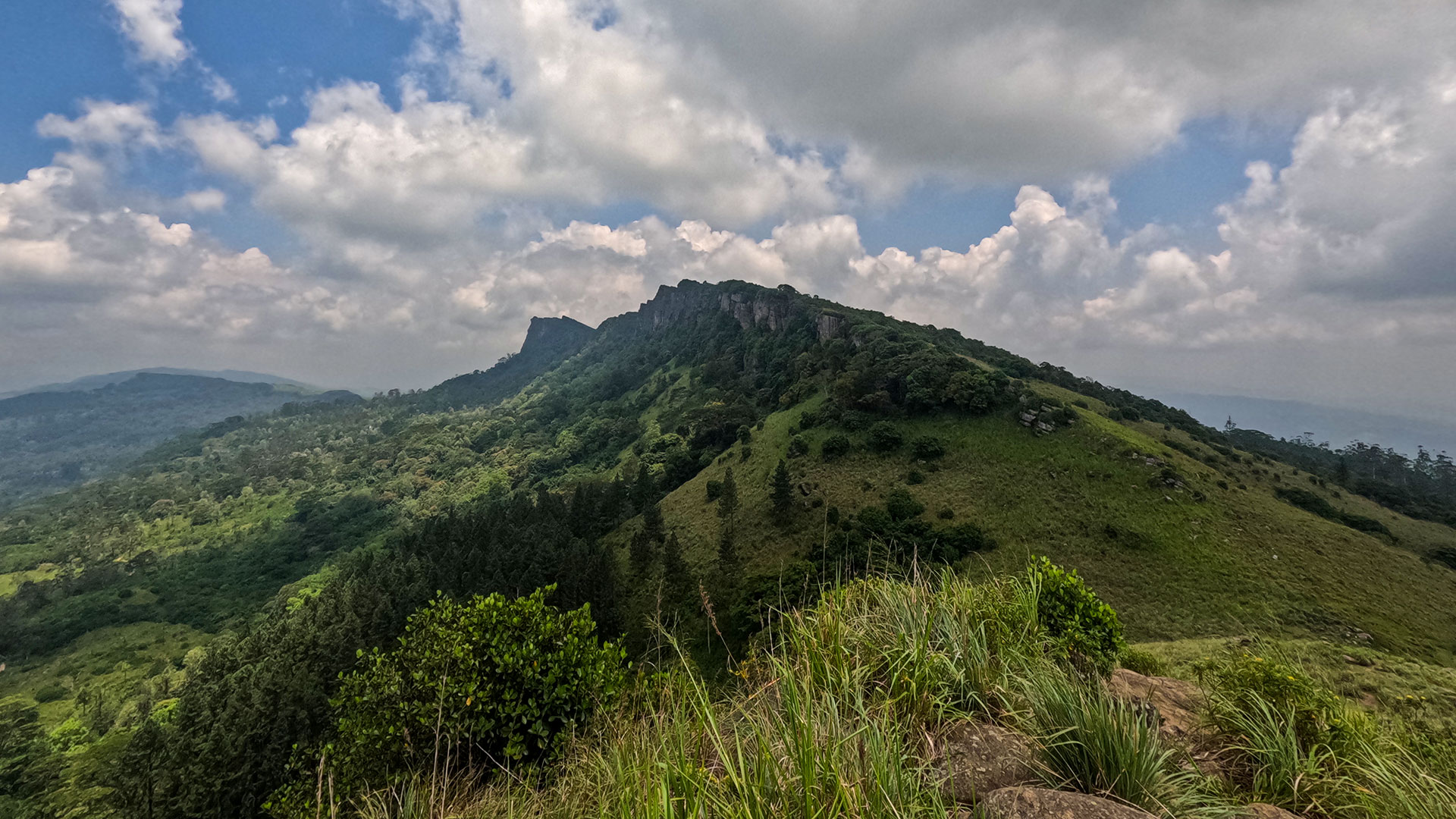
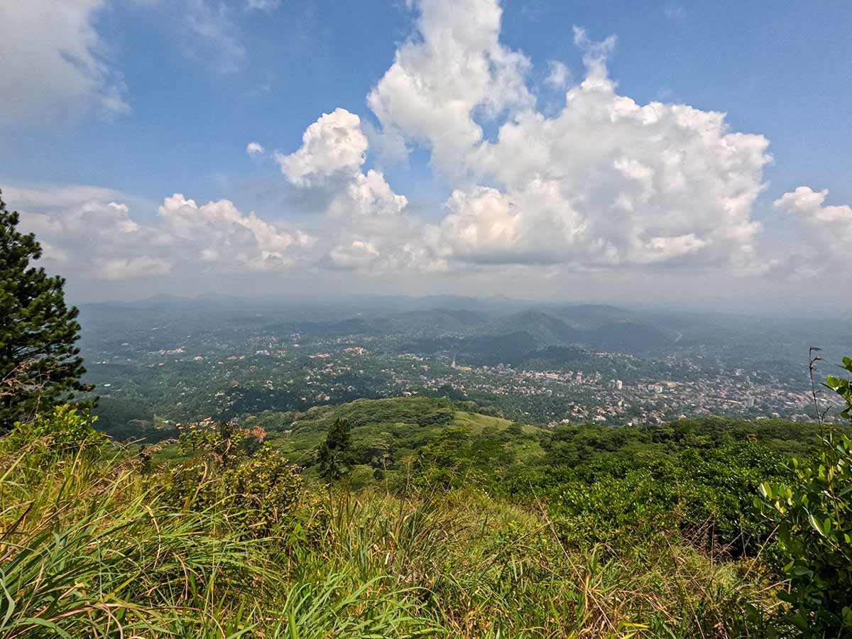
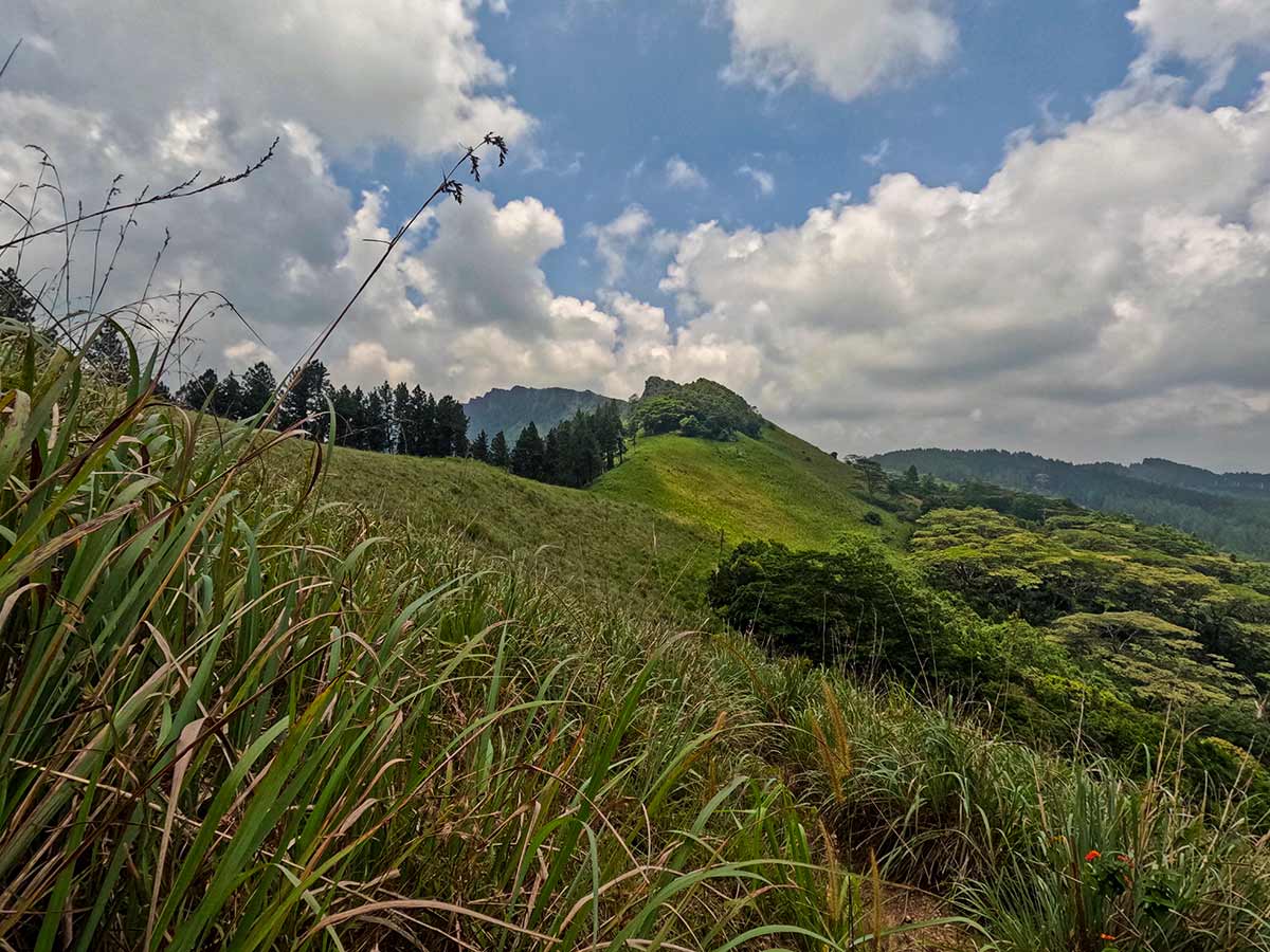
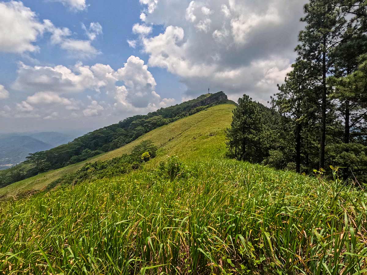
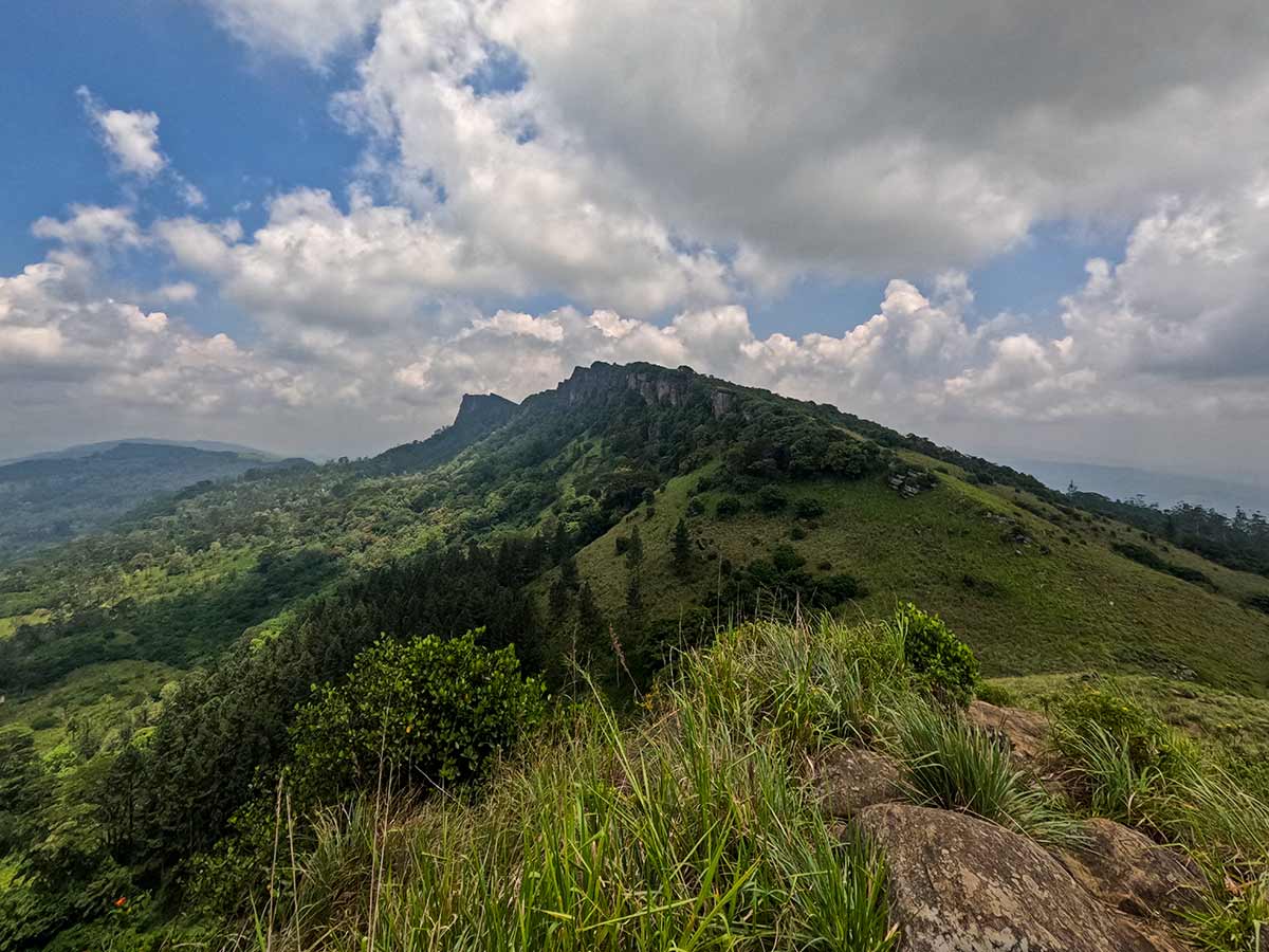
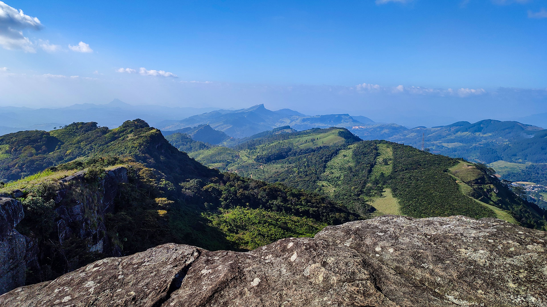
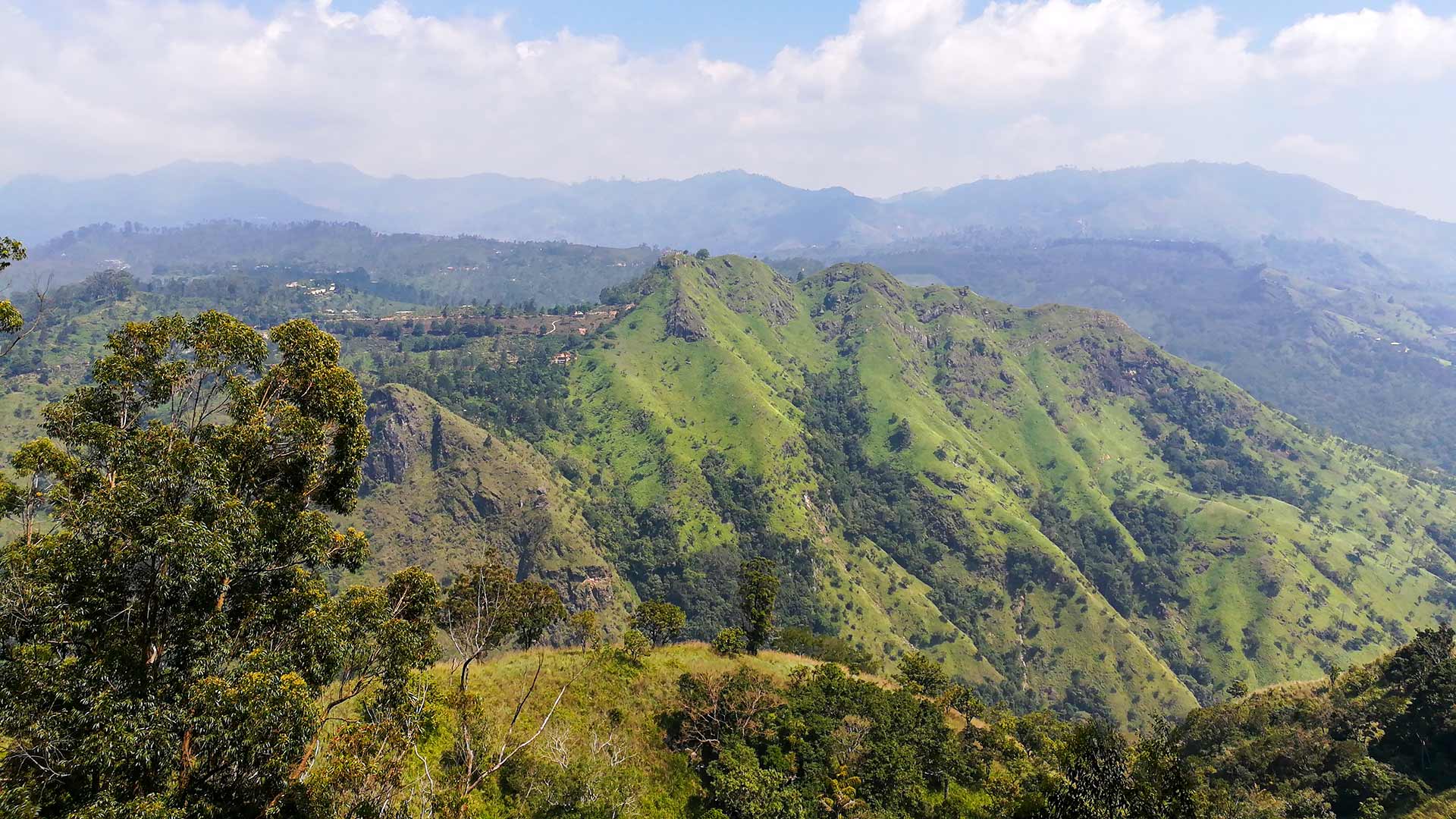
The Hanthana Mountain Range Trail is a moderate hike located just outside Kandy along Hanthana Hiking Road. The trail offers panoramic views over Kandy city and the surrounding countryside.
There are two main route options.
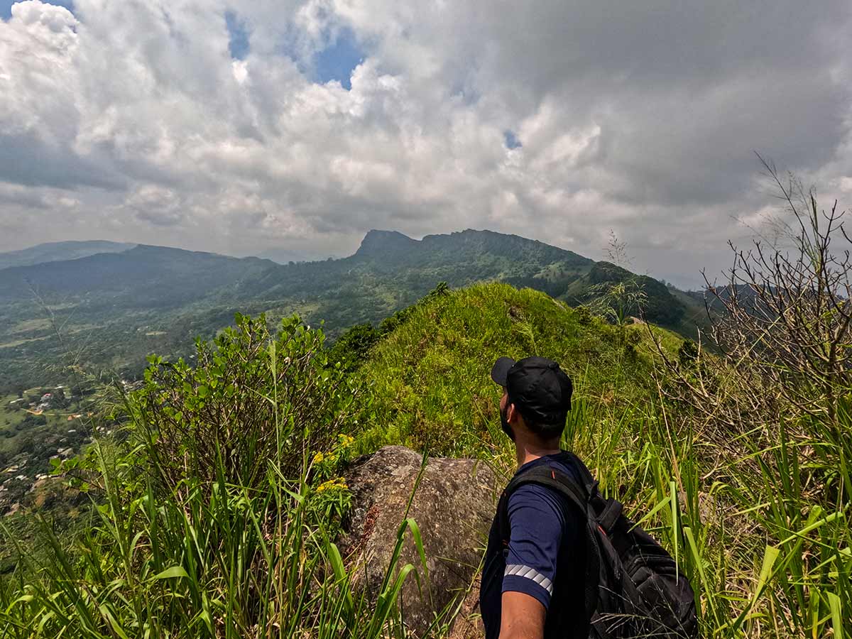
The longer route (7 km) begins in the Sarasavigama area and passes through tea plantations, forest sections, streams, and dense vegetation before reaching the viewpoint. This route gains approximately 450 metres in elevation and reaches a peak height of around 1,100 metres. A guide is recommended as sections of the trail are not clearly marked.
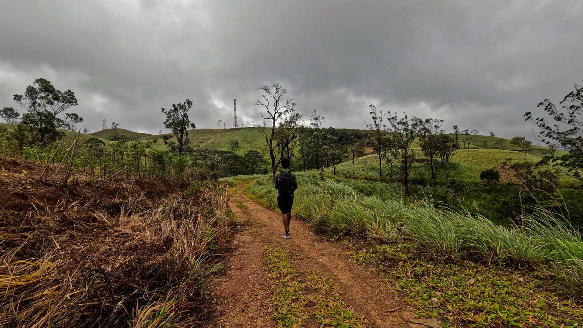
The shorter route (~4 km round trip) starts near the Ceylon Tea Museum and follows Hanthana Hiking Road. This route is more direct and can be completed without a guide, though the final section to the viewpoint requires attention as the trail is not always obvious.
The hike typically takes 2 hours via the shorter route or around 3.5 hours for the longer trail.
The best time to hike is during the dry season from December to March. Early morning starts are recommended to avoid heat and humidity.
Gallery
🧭 How to Get There
📍 Location
Hanthana, Kandy District, Central Province
🚗 How to Reach
- From Colombo (~119 km • ~4 h)
🧭 Select your starting point
Click markers to open locations in Google Maps
Travel Guide
Travel Tips
- Start early morning to avoid heat.
- Wear lightweight clothing and comfortable shoes.
- Leech protection is recommended during wet months.
- Carry sufficient drinking water.
Safety Notes
Please read before visiting
- Some sections of the long route are not clearly marked.
- Trail can be slippery during rainy periods.
- Watch footing near steep ridge sections.
- Avoid hiking alone on the long route without guidance.
Nearby Destinations
 Trail
TrailPekoe Trail
The Pekoe Trail is a 323 km long-distance walking trail across 22 stages through Sri Lanka's central highlands, connecting Kandy, Hatton, Haputale, Ella, and Nuwara Eliya.
View Details
 Viewpoint
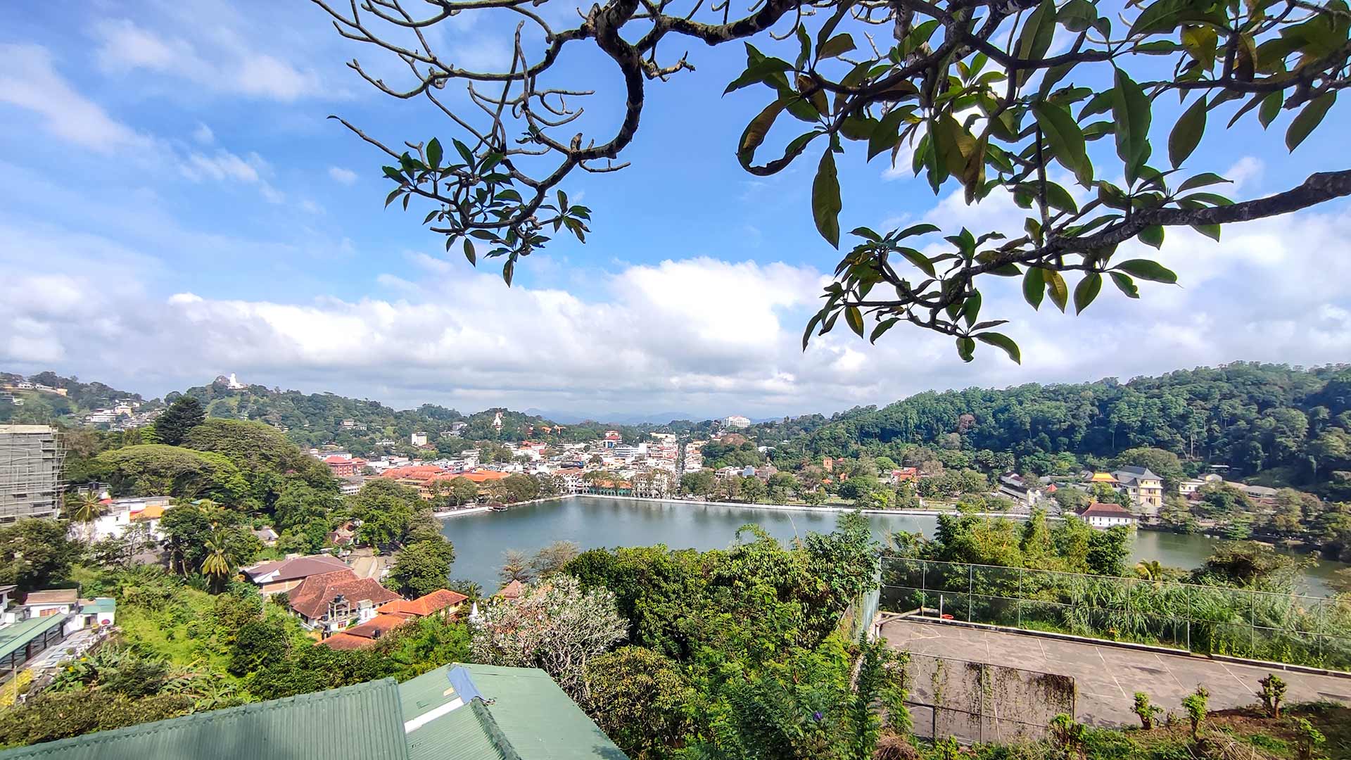
Kandy Viewpoint
Kandy Viewpoint is a scenic lookout located above Kandy city, providing panoramic views of the city, Kandy Lake, and surrounding hills.
View Details
 Cultural Site
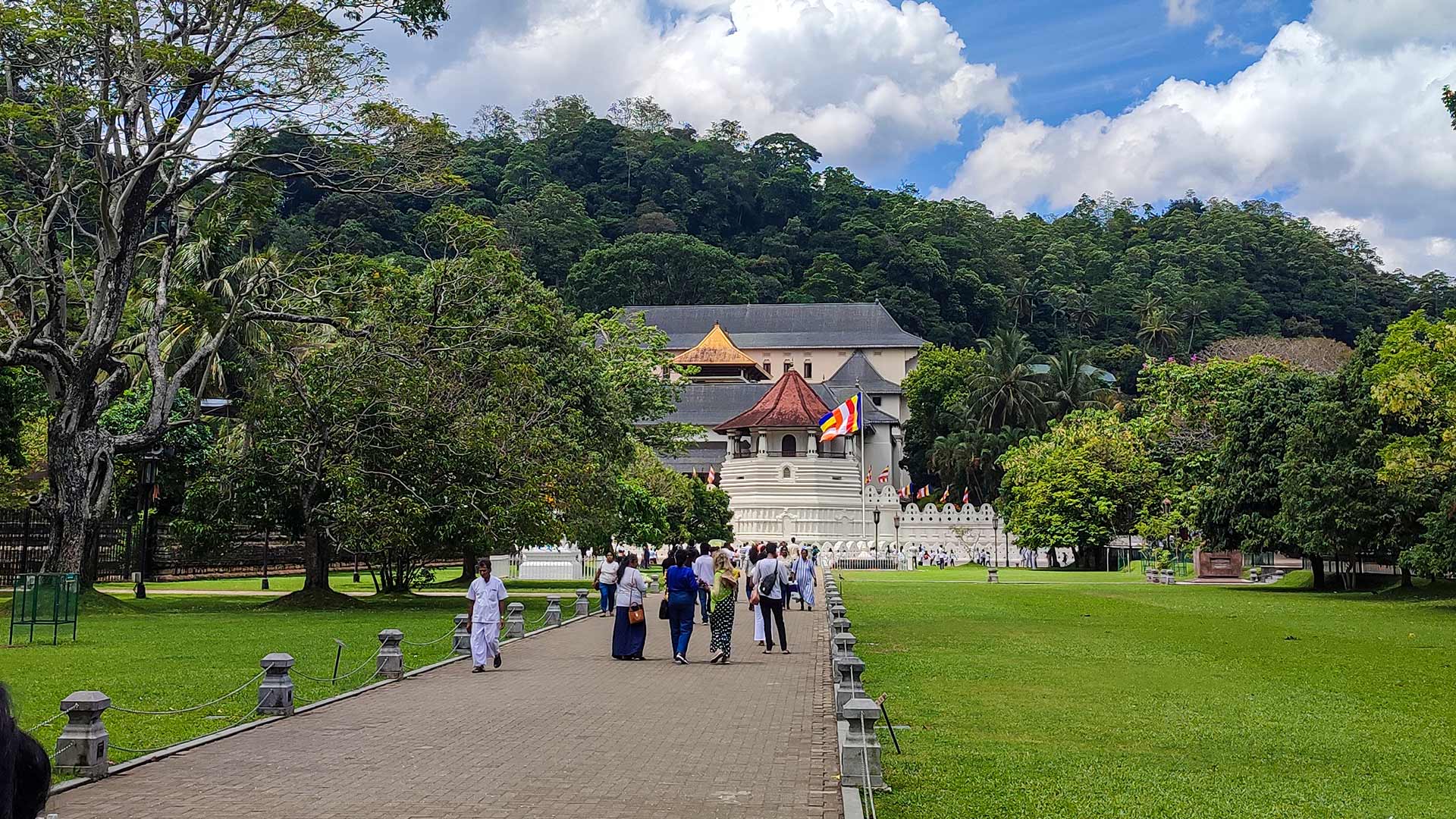
Temple of the Sacred Tooth Relic (Sri Dalada Maligawa)
The Temple of the Sacred Tooth Relic is a UNESCO World Heritage Site located in Kandy, preserving the tooth relic of the Buddha - a symbol of sovereignty and religious devotion in Sri Lanka.
View Details
Explore More Hiking Trails
 Hiking Trail
Kondagala Rock (Loolcandura Estate)
Kondagala Rock is a 150 m high rocky summit located within Loolcandura Estate near Deltota in Kandy District.
View Details
 Hiking Trail
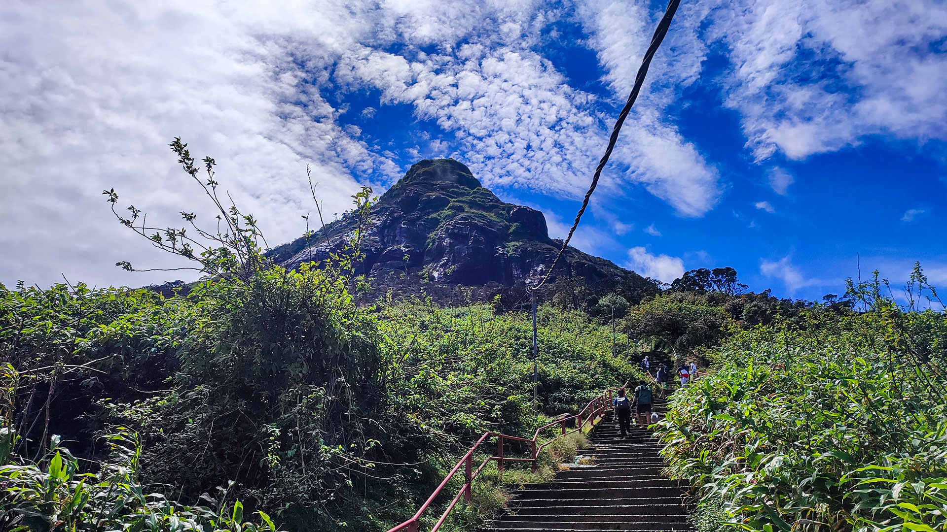
Adam's Peak - Hatton (Nallathanniya) Trail
The Hatton-Nallathanniya trail is the most used route to Adam's Peak (Sri Pada), offering a well-paved 5 km ascent to the summit.
View Details
 Hiking Trail
Ella Rock
Ella Rock is a scenic hiking trail near Ella town, known for its rewarding summit views and varied terrain through railway tracks, tea estates, and forest paths.
View Details